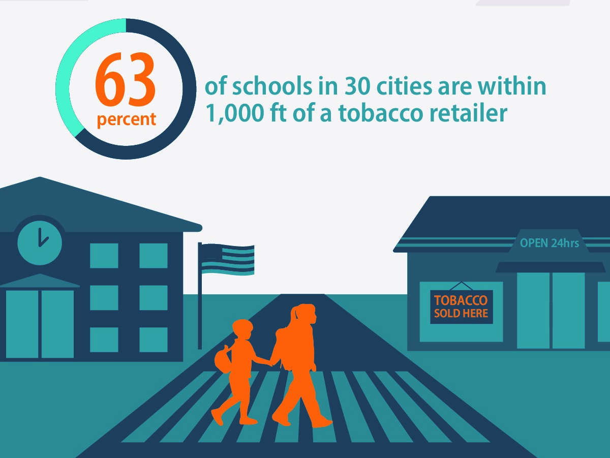
New research on tobacco retailer density finds that across 30 major US cities, 63% of public schools are located within 1,000 feet of a tobacco retailer. The data show there is also a high density of tobacco retailers in low-income neighborhoods. Mapping tobacco retailers in our communities is one of many powerful tools needed to counteract industry influence and strengthen healthy communities.
Recently, our partners at ASPiRE and Campaign for Tobacco Free Kids shared their latest findings on tobacco retailer density from a study that mapped tobacco retailers in 30 cities. The study was conducted by researchers from the Stanford University School of Medicine, the University of North Carolina at Chapel Hill, and Washington University in St. Louis.
The research team found that across 30 major US cities, an average of 63% of public schools are located within 1,000 feet – about two city blocks – of a tobacco retailer. In eight of the cities surveyed, at least 80% of public schools are within 1,000 feet of a tobacco retailer – Baltimore (87%), Boston (87.5%), Miami (90%), New York City (94%), Philadelphia (90%), Providence (80%), San Francisco (81.5%) and Washington, D.C. (82%).
The findings also tell us that tobacco retailers are concentrated in low-income areas. On average, there are nearly five times more tobacco retailers per square mile in the lowest-income neighborhoods than in the highest-income neighborhoods, as defined by data from the U.S. Census.
When we consider how many tobacco retailers exist–31 times more than McDonald’s restaurants and 16 times more than Starbucks–it is staggering to realize the density of tobacco retailers, particularly in low-income neighborhoods. This is of course no coincidence. (Read more about the disparities in point-of-sale advertising and retailer density on CounterTobacco.org.) The need for tobacco policy change at the point of sale is still painfully clear. Mapping tobacco retailers in our communities is one of many powerful tools needed to counteract this industry influence and strengthen healthy communities.
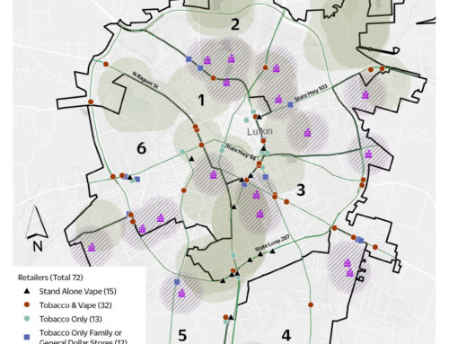
Many advocates in tobacco prevention and control are capturing data down to the neighborhood level and using GIS mapping to examine where tobacco retailers are clustered. States such as Florida, Minnesota, South Carolina and Virginia are working with Counter Tools to map tobacco retailers (among other variables) to examine their proximity to schools and disparities in density and using similar calculations to those used in this study. Philadelphia and San Francisco are two examples of places that have taken action to reduce disparities in density and stores near schools revealed by mapping.
If you live in one of the 30 cities represented in the ASPiRE study, there are fact sheets, maps and infographics to help us all support the increasing number of local tobacco control interventions that address the retail environment. How does your community capture and tell its story about your built environment?