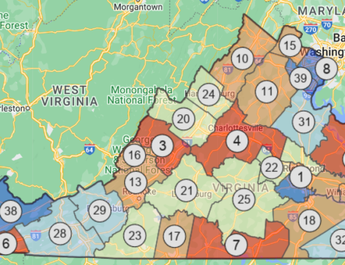
Maps are a valuable tool for understanding community trends, visualizing disparities, identifying gaps in program and policy implementation, educating decision makers, and evaluating interventions. In expanding upon the evidence-based recommendations in the CDC’s Best Practices for Comprehensive Tobacco Control Programs–2014, the Center for Public Health Systems Science at Washington University in St. Louis recently released a supplement entitled Tobacco Where You Live: Mapping Techniques. This best practice guide helps users create effective maps in six easy steps, learn how state programs have used maps to support tobacco prevention and control goals, and identify the best resources and tools to get started.
Need more help with mapping? Counter Tools works with clients across the country to understand how the spaces where we live, work, learn, and play — our homes, schools, neighborhoods, and nearby stores — determine our access to healthy living. To learn more about the mapping capabilities in our software tools or our other GIS mapping and data visualization services, contact [email protected].


